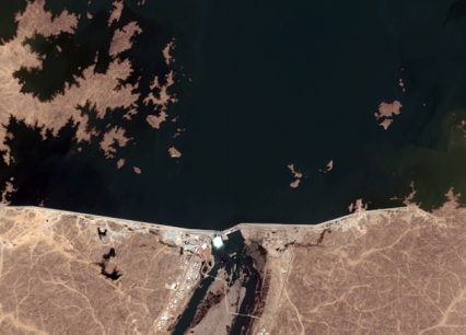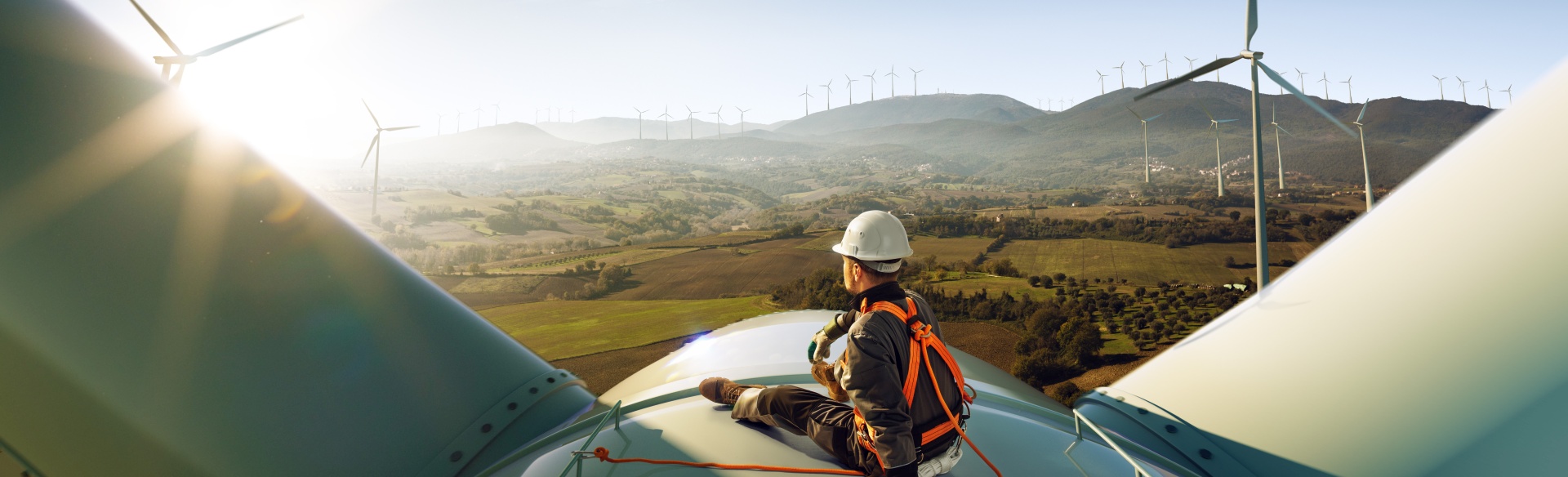
Imagine you want to build a hydropower plant, somewhere in the middle of nowhere on a large river. You have some coordinates but that’s all. What to do? Ok, you can open Google Earth and get a first overview of the location and landscape. But for planning you need more… 5 facts about satellite images …