What could be better than experience abroad to enrich my academic career? The answer to this question led me as an intern to Tractebel in Germany. I have been rewarded with a wealth of new insights and valuable contacts with wonderful people.
I am a student at Polytech Lille Engineering School and would like to undertake training with Tractebel France as an engineer in geographic information systems. In order to complete my degree, I have to accomplish a two-month internship abroad. The Hydropower Planning & Geomatics Department of Tractebel Germany welcomed me with open arms!
How does the Work-Study Program work?
The work-study program combines theoretical and practical training. While I’m studying at the Polytech Lille Engineering School, I’m working for the Geographical Information Systems (GIS) and Environmental department (POLEN, Pôle Environnement) at Tractebel France. Thus, I use all the knowledge acquired at school in practice. During the last two years, I worked on various projects such as feasibility studies or multi-criteria analyses of flood prevention projects. Another advantage of the program is, that it is a good introduction into the world of professional work. I am supported by my colleagues, who encourage me to develop my skills.
My Debut at Tractebel in Germany
Tractebel has an active presence worldwide. So it made sense to look for an internship within the group. I chose the site in Bad Vilbel because I took German in high school. So I thought it was a good opportunity to improve my language skills. My goal this summer was to diversify my skills as much as possible.
In mid-July, I arrived in the Rhine-Main region and was warmly welcomed. The GIS experts explained their work to me and we discussed the projects I could work on. Not only did I want to learn a lot, I also wanted to actively support the German experts in their projects.
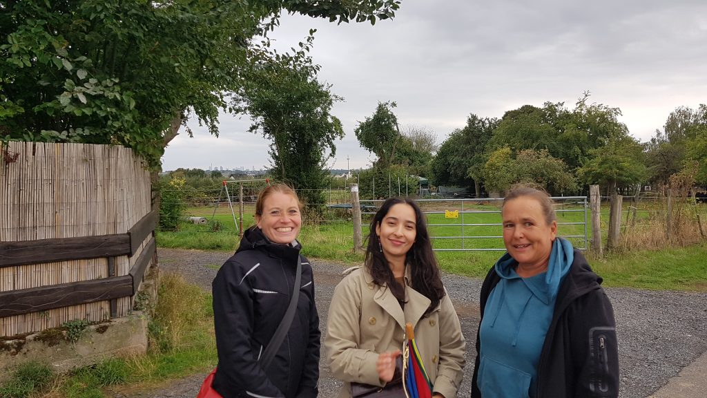
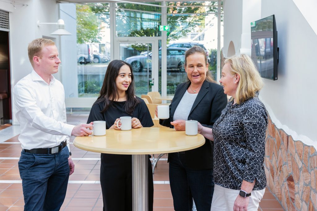
Even though my internship started during the summer break, when most of the staff were on vacation, I have good memories of those weeks. I got to know some great people and had some wonderful conservations – especially during lunch in the cafeteria!
Interesting Projects with GIS?
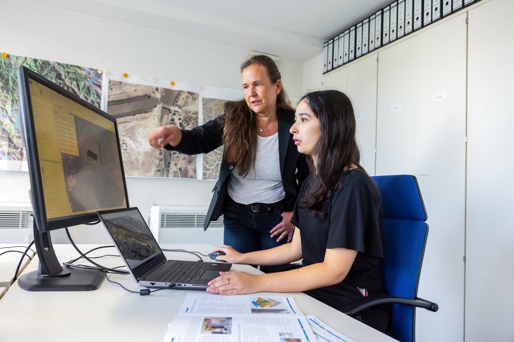
My specialisation is GIS. I know that this field is not familiar to everyone! Geographic information systems are a technology for collecting, processing, analysing and presenting data with geographic or spatial information. Included in the system are the hardware and software, the data and all the necessary tools. Typical fields of application include meteorology, applied geology and project planning. GIS-assisted work deals with all kinds of spatial data in 2D or 3D. This also includes database systems and management systems for georeferenced data. GIS also enables the sharing and dissemination of this data, particularly from static or dynamic maps.
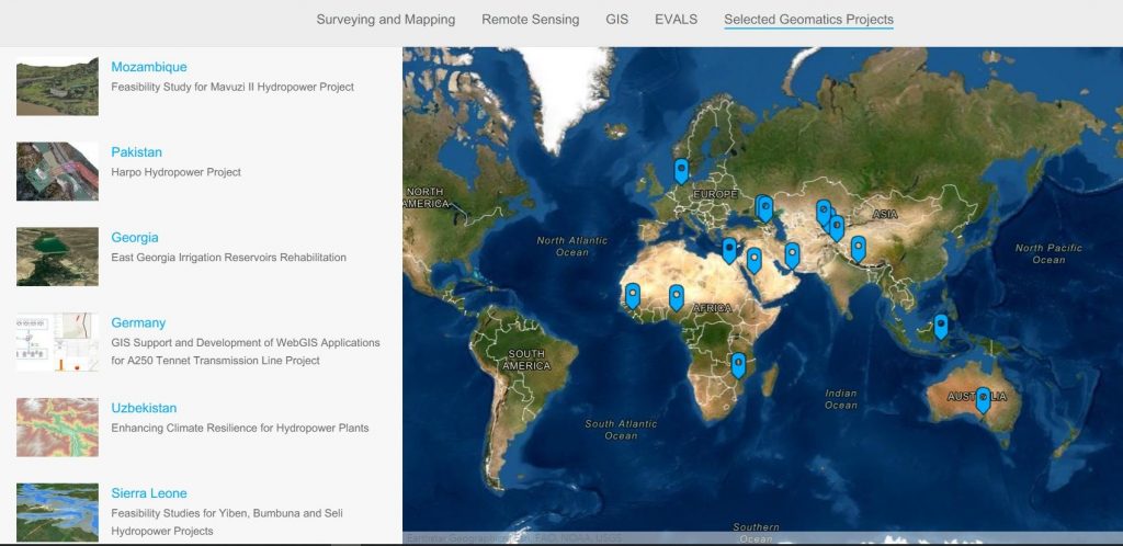
The GIS experts at Tractebel in Germany have been applying their expertise for more than thirty years to a wide variety of projects.
Their geomatic services include:
- Surveying and Mapping
- Remote Sensing (RS)
- Design of Geographic Information Systems (GIS)
- Web Map Applications
- Integration of Computer Aided Design (CAD)
- Integration of Building Information Modelling (BIM)
- Support Tools for different applications (e.g. EVALS)
- Training for GIS and RS
Maps tell Stories
One of my main missions in the team was the creation of a StoryMap. The StoryMap is a communication tool commercialised by the GIS software producer ESRI, which enables geographic maps to be combined with accompanying text, images or multimedia content. This means, for example, that we can take you on a journey through a country. In practice we generally use it for other purposes: The interactive maps are used as a communication tool to support the work of the GIS teams within and outside of Tractebel. My map will be published soon. Be curious!
BIM and GIS: Combining intelligent Programs and looking into the Future
BIM (Building Information Modelling) and GIS are two disciplines that complement each other. Projects combining these two fields are becoming more and more common. It is therefore important that GIS engineers and BIM managers cooperate and work hand in hand.
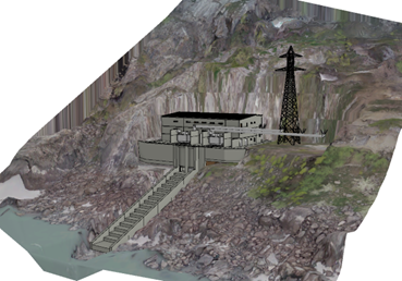
During my internship I compiled a manual that describes how to import an IFC-file (Industry Foundation Classes) from BIM into the GIS software. In addition, I also had the task of integrating 3D models into ArcGIS and creating the topography of the 3D model on the basis of the contour lines. Visualizing these models in a GIS environment allows one to study the way the infrastructure of a project fits into its environment.
It is possible to establish a connection to an Autodesk BIM 360 server via ArcGIS Pro. The modified BIM models will be automatically updated in the software edited by ESRI. Spatial management can be done in real time and the model can be used beyond the construction phase.
A Goodbye but not Farewell!
The ten weeks of the internship flew past! After having worked successfully with the GIS and BIM teams on several projects, I now have to conclude my internship and start packing my bags. It is time to go back to my student life and say goodbye to the wonderful people who have been part of my daily life this summer. I am very grateful to you all for making me feel so welcome and giving me so much opportunity. I will have fond memories of our interactions (and glasses of Apfelsaft).
It was a pleasure to go to the office every day to move forward on these interesting projects that taught me so much. I really think that this experience will have an impact on my professional life. I’m now going back to France to finish my last year in engineering school. This unforgettable phase of my training is coming to an end, but this doesn’t mean that the exchanges between German and French GIS engineers is over! We are looking forward to further joint GIS projects with Tractebel.
If you want to know more about our BIM and GIS activities, feel free to leave a comment below.
After the German ‘ApfelSaft’, you are welcome in Belgium for some beer (or waffels 🙂 ), and doing gome GIS too !
All the best,
Erwin (Geologist at Tractebel Belgium)